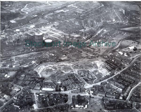
An Aerial View of the Portwood and Hall Street Area
An aerial view of the Portwood/Hall Street area. Hall Street/Hillgate runs from left to right in the lower half of the photograph, with Vernon Park School in the centre and the Gas Works and houses of Portwood in the upper section.
- Image ID
- 5077
- Class number
- S/A 67 More like this
- Photographer
- Aerofilms & Aero Pictorial Ltd.
- Date of image
- :circa 1960's
- Area
- Portwood
- In copyright?
- Yes
- Available to buy?
- No
Return to search results